


Unlock Geolocation Without Limits
No Signal, No Hardware, No Cloud, All Software.
Plot2X AI uses only inertial and sensor data.
No cameras or vision data required.
Plot2x offers software-defined, signal free PNT solutions that deliver reliable location data.
Alt PNT Solutions are not sustainable.

Plot2x is Unlike Any Other Technology
.png)
Plot2x for Every Application


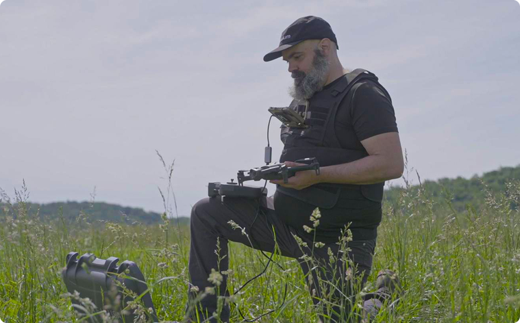
Dismounted Users
.png)
.png)
.png)

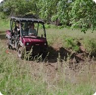
Military
Amidst enhanced electronic warfare operations, militaries across the world require GPS alternatives that are resilient, lightweight and immediately deployable.
Plot2X provides assured PNT at the tactical edge without new hardware or vulnerable signals, which directly support multi-domain operations and joint command & control priorities.
Emergency Response
GPS denied, degraded, or absent environments are already impacting emergency response capabilities worldwide.
Plot2x provides resilient navigation for first responders and critical infrastructure operators, delivered in a low-cost, software-only package that integrates seamlessly with existing systems.
Law Enforcement
As non-state actors and sophisticated criminal groups increasingly employ GPS jamming or spoofing tools, law enforcement requires a GPS-independent geolocation system that reduces vulnerabilities and protects against both natural disruption and hostile interference.
Plot2X provides a low-cost, interoperable, rapidly deployable alternative that strengthens and further enables law enforcement capabilities.
And More
Anyone who depends on assured positioning and navigation in environments where GPS can be denied, spoofed, blocked or unavailable could benefit.
Click on the link below to learn more.

